Departure from Gavigno, in front of the Church of Sant’Agostino. Follow the road initially slightly downhill which begins to become marked at Fonte dei Piani – CAI 64. After the first hairpin bend you leave the CAI signs remaining on the road which begins to become dirt near the last isolated houses. Always on a steep descent you cross chestnut woods until you reach a crossroads in the locality. The Central. We follow the CAI 62 A trail sign on the right which enters between the houses and becomes a path and, in two hairpin bends, leads us to the ford on the Carigiola stream. Pay attention!
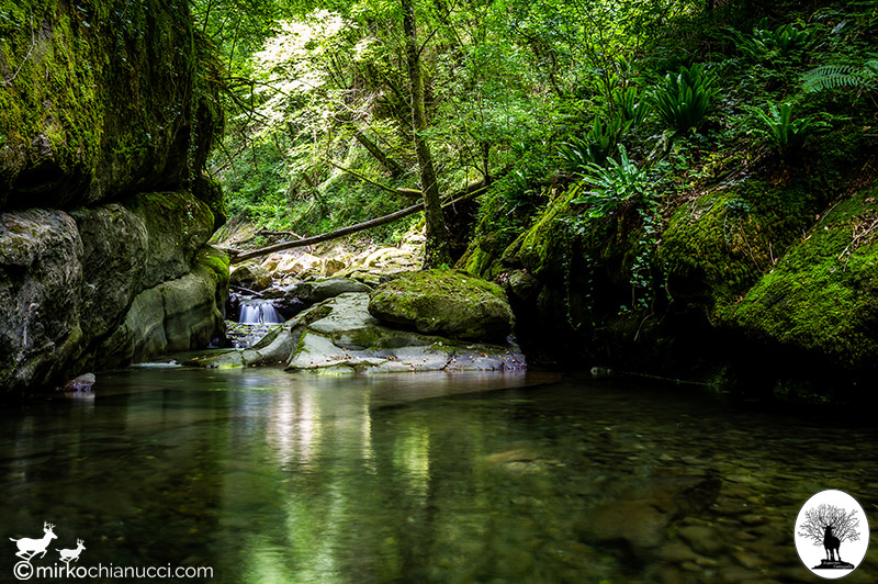
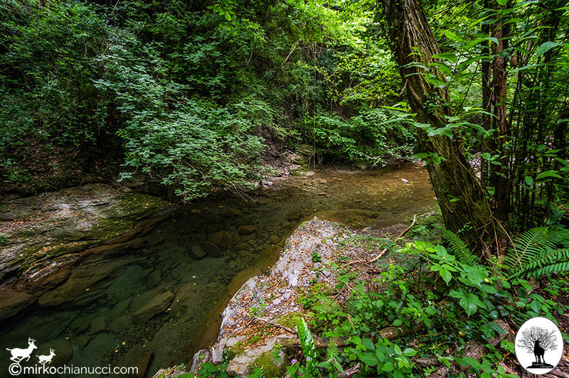
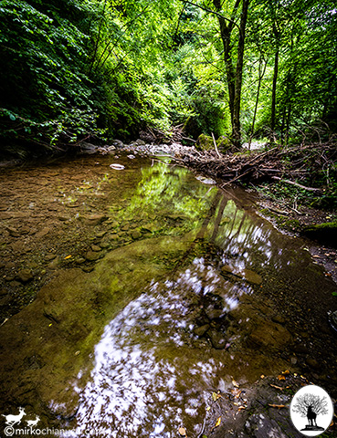
Once you have crossed the watercourse you face a steep climb inside a chestnut grove and, subsequently with alternating steep climbs and stretches on a slight slope halfway up the hillside, you go up the course of the Carigiola.
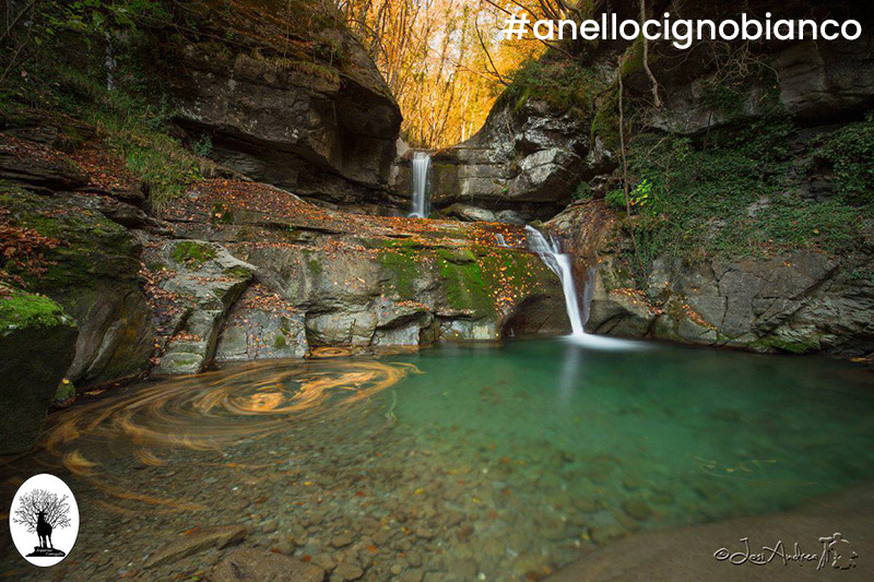
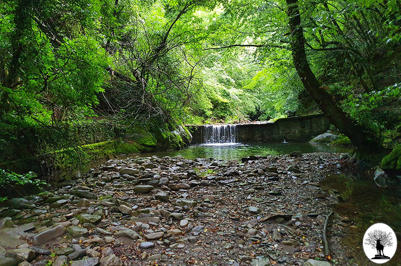
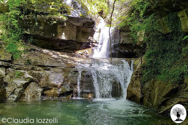
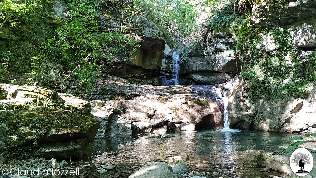
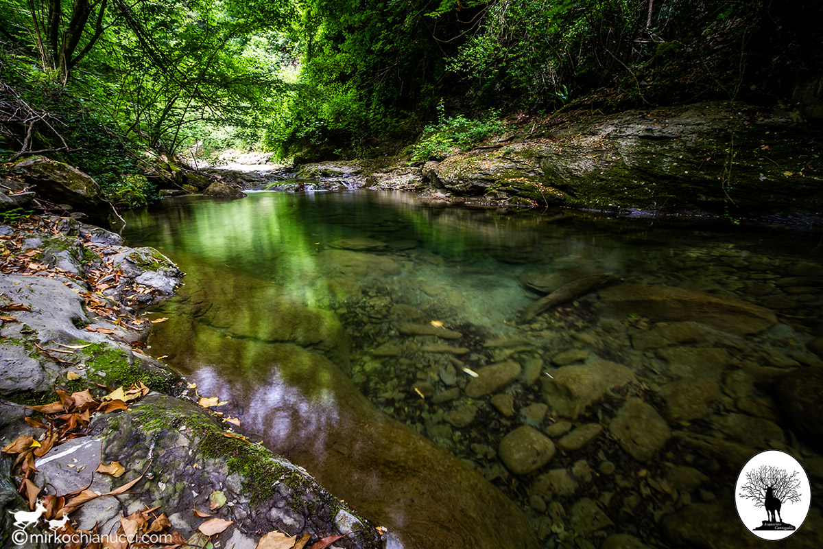
The route winds inside the valley crossed by numerous watercourses and dotted with spectacular waterfalls and waterfalls. At the top of this stretch there is a crossroads where CAI path 62 intersects. Following the right branch you go up towards Cavarzano (possible escape route in case of bad weather). Our route instead continues downhill to the left, to cross the Carigiola again. Nearby is the most spectacular waterfall on the itinerary.
Once you have crossed the watercourse you face a short staircase at the top of which you leave the CAI 62 which continues on the left reaching Gavigno in just under half an hour; instead we take the slightly sloping path on the right along the orographic right of the Carigiola.
When you shortly arrive at the fork near a ruined building, take a left uphill and, at the next fork, turn sharply left. The most challenging stretch of the itinerary begins, characterized by panoramic hillsides alternating with narrow hairpin bends, with sometimes “significant” slopes, which allows us to exit the narrow gorge of the Fosso della Rocca. Reached an altitude of 750 m. the route tends to become flat as it winds along the side of Poggio Mandroli (on the opposite side you can admire the bold crest of the Cigno Bianco). The panoramic hillside route ends at the crossing of the Fosso della Rocca, here you follow the traces of an ancient uphill mule track that reaches a nearby crossroads.
On the left starts the narrow and steep path, without signs, which, with a little attention, allows you to reach the summit part of the Cigno Bianco; on the right the mule track continues, climbing into the beech forest until it ends on the Gavigno-Fossato asphalt road.
Continuing downhill for a few hundred meters we arrive at a small pine forest on the left within which we follow a narrow track that descends into the fields below and then, turning right, ends in front of a house. We follow the access road up to a crossroads where we descend sharply to the left, inside the town of Gavigno, until returning to the starting point.
Android App

iOS App